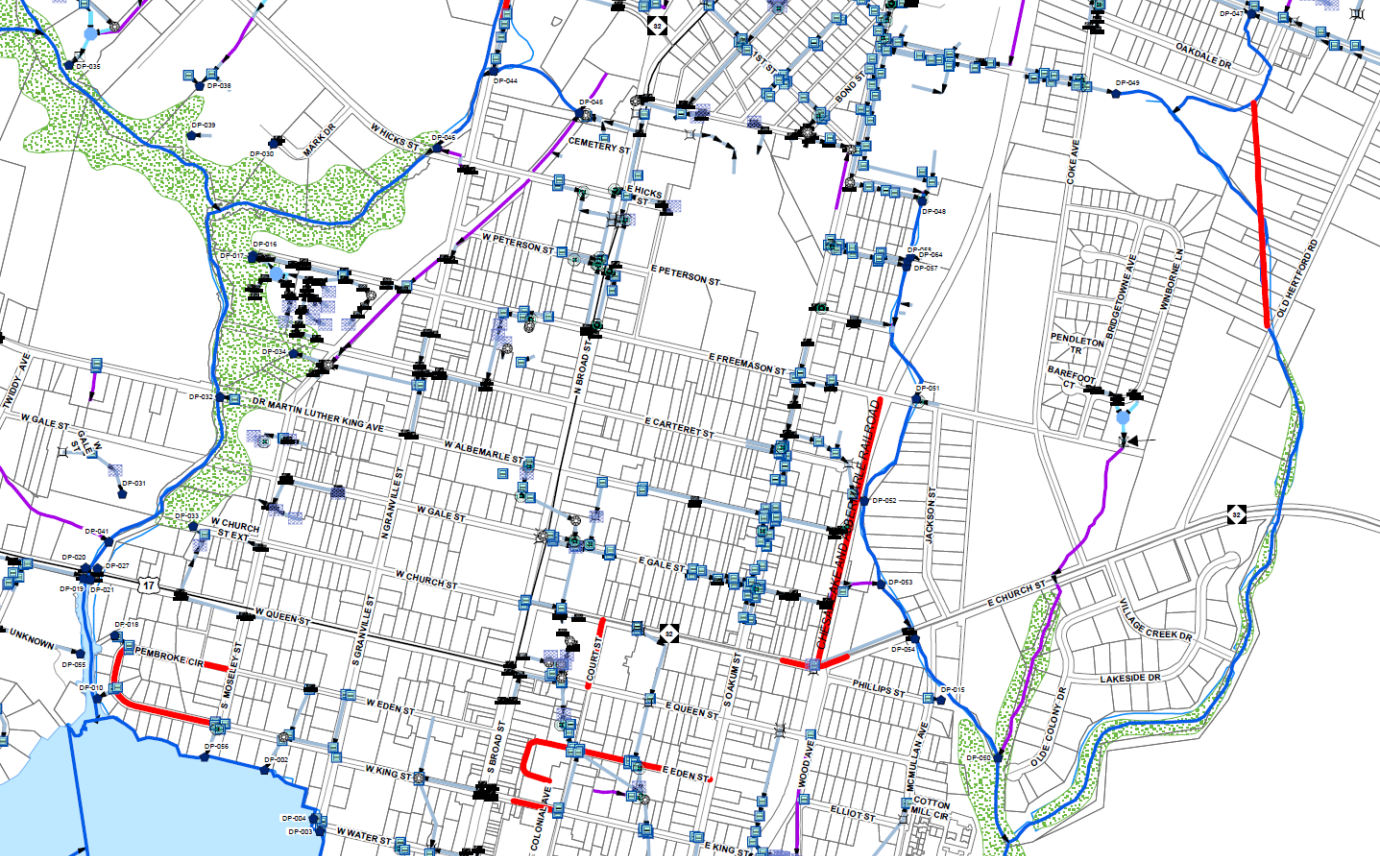
This project consisted of mapping the entire stormwater collection system for the Town of Edenton, NC. All system features were mapped at survey grade accuracy including manholes, pipes, junction boxes, inlet structures, major ditches, blue line streams, and discharge points. Over 27 miles of storm pipelines, ditches, and streams, and 2,753 point features were ultimately mapped. Each feature was linked to receiving waters for utilization in future water quality monitoring. The network can be traced to determine the origin of effluent discharged to specific receiving waters. A study to determine the feasibility of utilizing a constructed wetland for treatment of stormwater pumped from an existing pump station was part of this project, which was funded by a Clean Water Management Trust Fund grant.
Twenty-Seven Miles of Stormwater Mapping for Historic Coastal Town
Stormwater Engineering and Mapping
Location
Edenton, North Carolina
Edenton, North Carolina
