Geomatics
Combining long-standing principles of surveying with state-of-the-industry technology
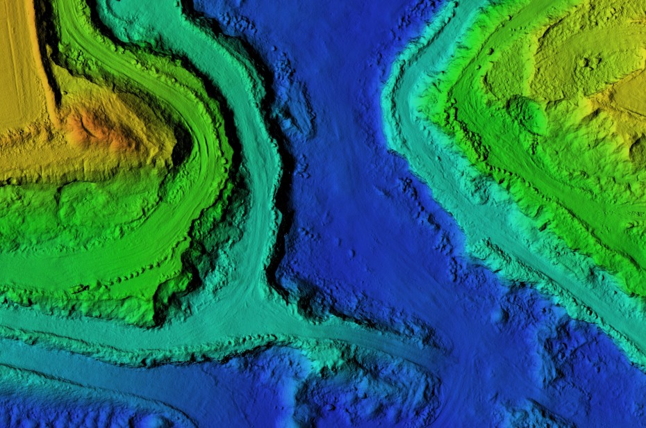
Understanding geographic relationships between people, land use, and resources is fundamental to planning, analysis, and controlling costs.
Wooten's geomatics practice team is on the leading edge of the surveying and mapping profession, utilizing the latest field and computer equipment to provide timely, cost-effective services.
highlights
8
decades partnering with local leaders
6
offices across the Carolinas
16 M+
residents served across the Southeast
60+
years of on-call services

Surveying
Utilizing state-of-the-industry equipment to provide timely and accurate data
Read More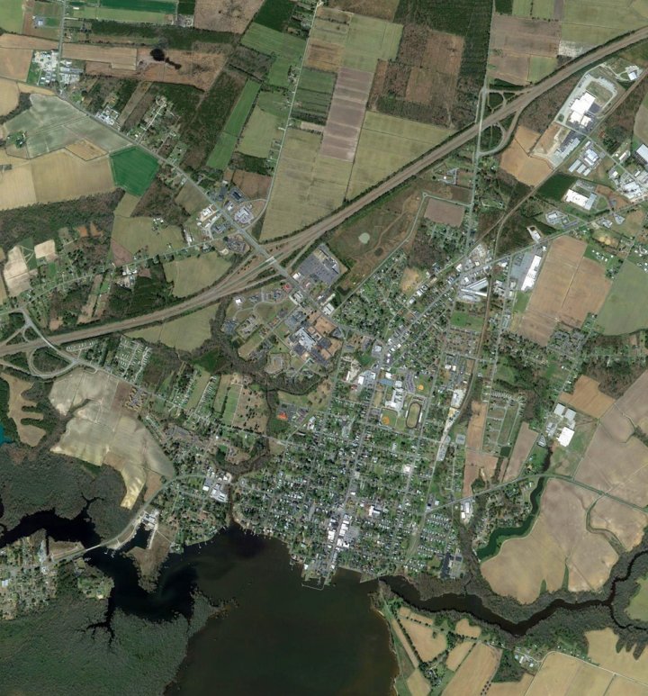
GIS
Quantifying geographic information in print and digital form for accurate project planning & design
Read MoreFeatured Projects
Street Pavement Survey Sets Stage for $1.2 Million Public Bond
Deteriorating streets conditions prompted the Town of Grifton to solicit an assessment of 14 miles of roadway in-town. Read More
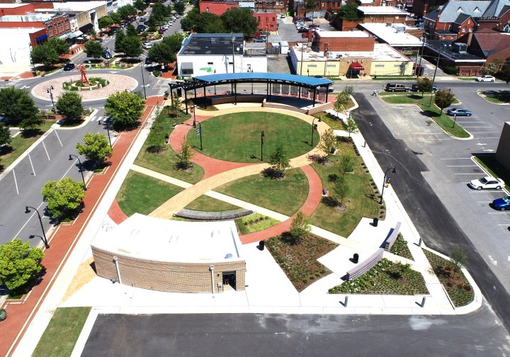
Sustainable Design Supports Economic Development in Goldsboro
The three-phase Center Street revitalization attracted dozens of new businesses and property investors. Read More
Greenway Extends Connectivity of Popular Carolina Thread Trail
The regional trail passes through 15 counties in North and South Carolina to create a “Green Interstate.” Read More
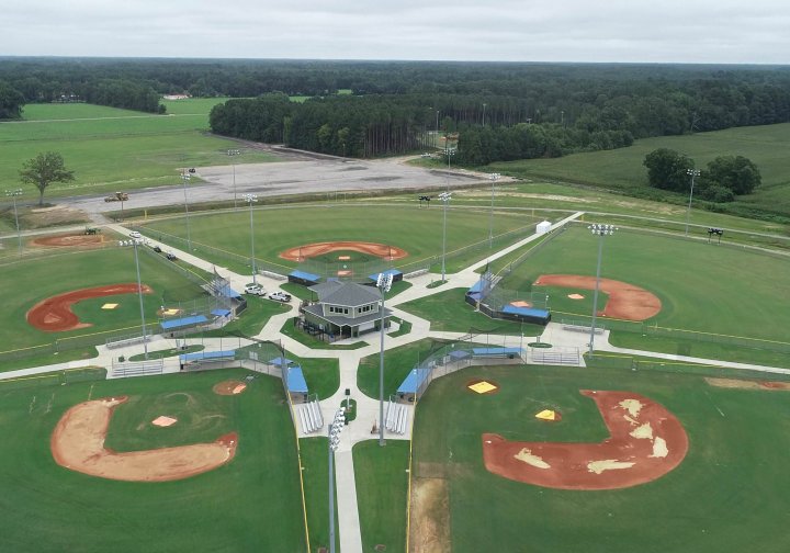
Athletic Complex Completed in Time to Host Youth World Series
In 2018, for the fourth time in the history of Dixie Youth Baseball, the league’s World Series came to the Tar Heel State. Read More
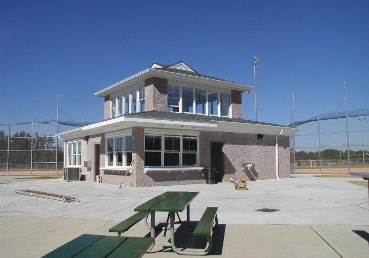
Park Complex Features Multiple Venues for Play, Spectators
It includes a softball field, three Little League fields, football and soccer fields and two basketball courts. Read More
results
From Our Clients
“Wooten has provided engineering, architectural, planning and geomatics services for the Town of Granite Falls since 1977. They have consistently provided these services in a professional and timely manner.”

