GIS
Quantifying geographic information in print and digital form for accurate project planning & design

Understanding the
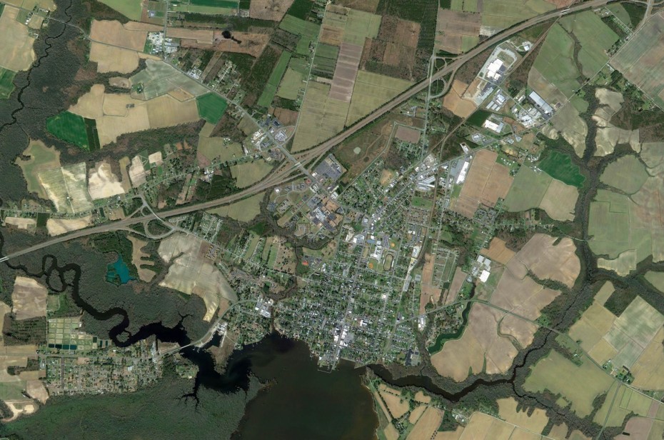
Geographic relationships between people, land use and resources is critical for planning and analysis.
Our GIS team is made up of experienced professionals with the capabilities and knowledge that allows our team to capture, store, manipulate, analyze and manage geographical data.
We enlist the help of civil engineers, surveyors, and community development specialists to produce maps that speak clearly to our clients. We often provide GIS services to municipalities and counties where permanent GIS staff is nonessential.
The GIS team uses statistical and topographic analysis to help identify appropriate locations for water, wastewater and stormwater infrastructure — as well as mapping small area plans and zoning analysis. Our GIS team uses an array of applications to accomplish these tasks, relying primarily on ArcGIS Desktop, which allows us to analyze data, plan for and perform maintenance, respond to emergencies — and make better decisions overall.
- Database Services
- Asset Inventory
results
From Our Clients
“Wooten has assisted Pitt County with numerous planning-related activities over the past two decades. The firm meets established deadlines and completes projects under budget. More importantly, the plans (several being award-winning) produced and services offered have had positive impacts on our community.”
Featured Projects
Street Pavement Survey Sets Stage for $1.2 Million Public Bond
Deteriorating streets conditions prompted the Town of Grifton to solicit an assessment of 14 miles of roadway in-town. Read More
Sustainable Design Supports Economic Development in Goldsboro
The three-phase Center Street revitalization attracted dozens of new businesses and property investors. Read More
Greenway Extends Connectivity of Popular Carolina Thread Trail
The regional trail passes through 15 counties in North and South Carolina to create a “Green Interstate.” Read More


