Surveying
Utilizing state-of-the-industry equipment to provide timely and accurate data

The wooten team has
A proven record of delivering quality and accurate data.
Trimble GPS receivers and survey controllers and TOPCON and Nikon total stations allow easy access to feature code libraries and data dictionaries that reduce human error while improving overall efficiency.
Our team provides a wide range of land surveying and mapping services to fit each need, including:
- Topographic
- Easement & Mapping
- Boundary & Land
- Environmental
- Construction Staking
- Scanning
- Unmanned Aerial Vehicle Inspections
results
From Our Clients
“Wooten has provided engineering, architectural, planning and geomatics services for the Town of Granite Falls since 1977. They have consistently provided these services in a professional and timely manner.”
Featured Projects
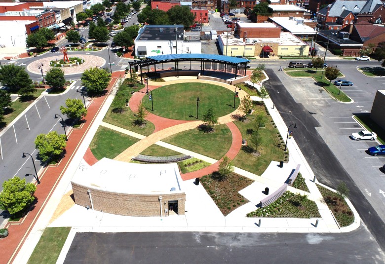
Sustainable Design Supports Economic Development in Goldsboro
The three-phase Center Street revitalization attracted dozens of new businesses and property investors. Read More
Greenway Extends Connectivity of Popular Carolina Thread Trail
The regional trail passes through 15 counties in North and South Carolina to create a “Green Interstate.” Read More
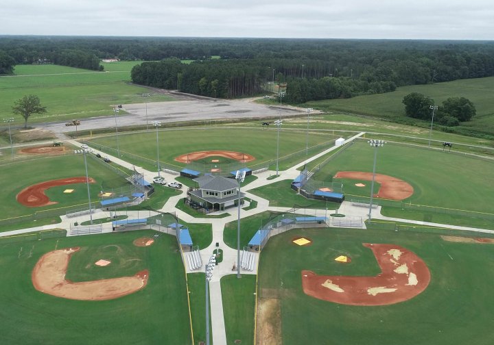
Athletic Complex Completed in Time to Host Youth World Series
In 2018, for the fourth time in the history of Dixie Youth Baseball, the league’s World Series came to the Tar Heel State. Read More


