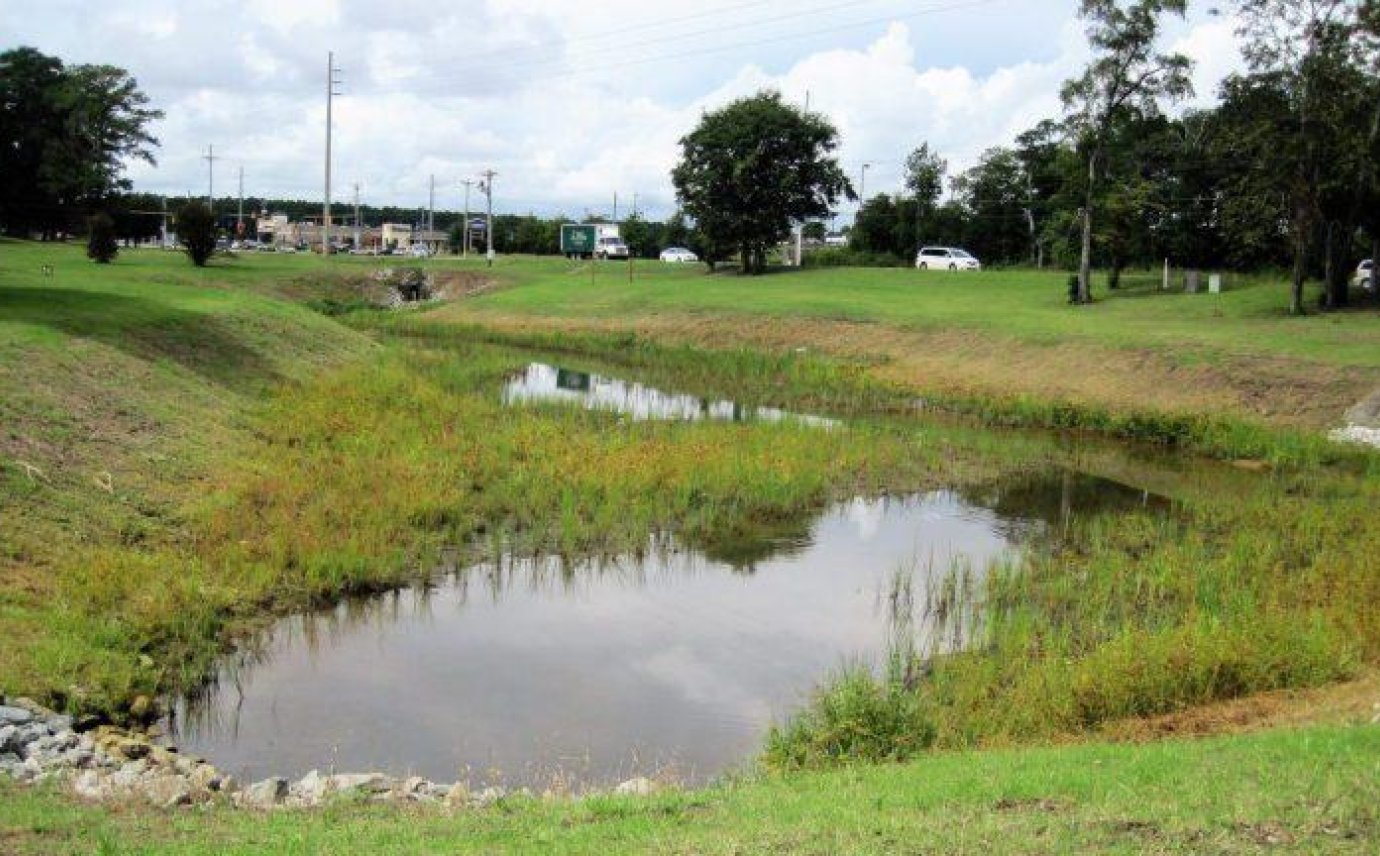
Cape Carteret's stormwater mapping involved using industry standard surveying techniques to capture the accurate geospatial location of existing stormwater facilities and descriptions to incorporate information into a GIS database for the Town. This project included creating a digital base map of the Town with stormwater facilities mapped to NCBELS GIS survey accuracy of Class A and a preliminary list of potential problem areas.
Class A Survey Accuracy Finds Potential Problem Areas
Stormwater Mapping
Location
Cape Carteret, North Carolina
Cape Carteret, North Carolina
