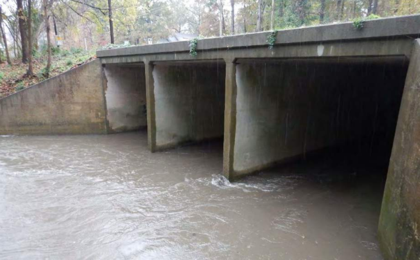
The purpose of the project was to map a complete storm drainage system conveying public water within the Green Mill Run watershed located in Greenville, NC. The Wooten Company was a sub-consultant to Hazen and Sawyer, who performed the overall Stormwater Master Plan Initially the watershed had to be divided into subwatersheds using GIS analyses of LiDAR data. The project involved a scout up front to provide schematics of connectivity between storm water structures and open drainage systems within the map book. Field crews utilized the preliminary connectivity sketches to locate and collect pertinent information of individual structures. The process of field data collection for such a large project area was expedited through the usage GPS receivers operating on the NC Continuously Operating Reference Station (CORS) Network, allowing coordinates to be corrected on-the-fly. Areas of dense canopy and tall building structures had to be located conventionally with a total station. Based upon the attributes collected within the field, structures could be connected using GIS programming to allow for a network analysis and storm water modeling. Lastly, the large geodatabase of individual structures and its seamless connectivity within the Green Mill Run watershed were transferred to the modeling engineer where analyses were performed to determine areas of potential flooding.
Geomatics Supports Mapping of Storm Drainage System For Greenville
Initially the watershed had to be divided into subwatersheds using GIS analyses of LiDAR data.
Location
Greenville, NC
Greenville, NC
